How Temperature Inversions Create Fog
Understanding Temperature Inversions
Temperature inversions are fascinating meteorological phenomena where the normal temperature gradient of the atmosphere is reversed. Typically, in the standard atmospheric conditions, the air temperature decreases with an increase in altitude. This is due to the fact that the Earth’s surface absorbs sunlight and transfers heat to the air in direct contact with it, making the surface warmer. However, during a temperature inversion, this typical scenario is flipped, and the temperature actually increases with height. This unusual vertical temperature setup can have significant effects on weather conditions, one of which includes the formation of fog.
Mechanism of Temperature Inversions
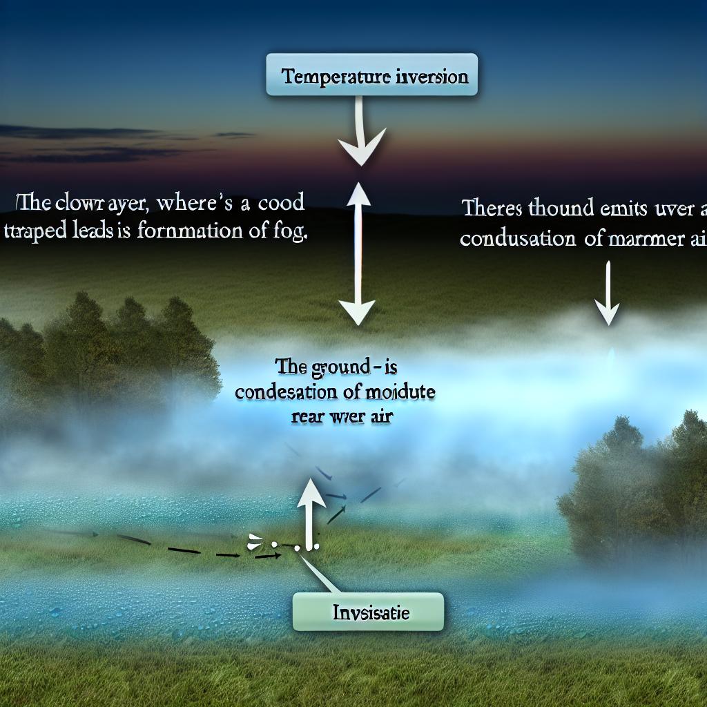
Under normal atmospheric circumstances, warm air tends to be less dense than cooler air. Consequently, warm air at the surface naturally rises. This is a vital part of atmospheric processes and contributes to weather patterns as well. However, the situation is altered during a temperature inversion. In such circumstances, a horizontal layer of cool air becomes trapped beneath a warmer air layer that rests above it. The presence of warmer air above acts essentially like a cap that inhibits the natural upward movement of the cooler air below. This phenomenon results in the alteration of typical weather patterns and impacts environmental conditions.
Factors Leading to Temperature Inversions
Temperature inversions do not occur randomly; they are driven by specific environmental conditions. A few typical scenarios that lead to the establishment of temperature inversions include:
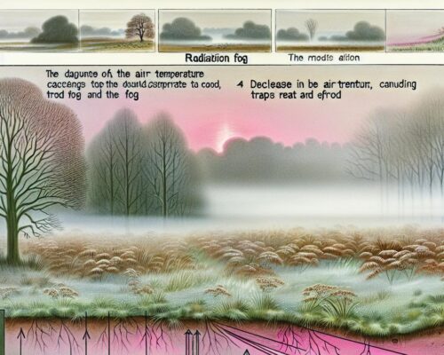
Radiation Inversions: This type of inversion generally occurs during clear and calm nights. During these conditions, the ground loses heat rapidly through the process of radiation. As the surface of the Earth cools, it in turn cools the air directly above it. The result is an inversion of temperature because the cooler air remains near the ground, and the air above it is warmer.
Frontal Inversions: These are linked with the movement of different air masses, particularly associated with weather fronts. When a warm air mass moves over a colder one, the inversion is formed. The denser, cold air remains grounded, while the warmer air flows above it, leading to the formation of a distinct inversion layer.
Subsidence Inversions: These inversions occur when air descends and consequently warms due to an increase in atmospheric pressure, effectively trapping cooler air underneath. As a high-pressure system settles over an area, it forces air downward, compressing and warming it, creating the inversion phenomenon.
Formation of Fog Due to Inversions
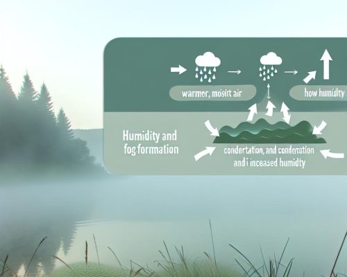
One of the notable outcomes of temperature inversions is the formation of fog. The trapping of cool air beneath a warmer air layer often leads to an increase in humidity levels within the lower atmospheric strata. When these levels are sufficiently high, they reach a point of saturation. This saturation condition results in the condensation of water vapor present in the air, leading to the formation of fog. Such fog tends to be prevalent in valleys or low-lying areas where cold air easily becomes trapped, creating ideal conditions for fog development.
Impacts of Fog from Temperature Inversions
The presence of fog has several practical and environmental impacts. One primary impact is the reduction in visibility, which can significantly affect transportation systems, leading to slower moving traffic on roads and delays in air travel. Fog not only impacts travel safety but also daily activities by reducing the efficiency of transportation networks.
In addition, temperature inversions can have an environmental impact. The phenomenon can trap pollutants close to the ground, commonly originating from vehicles and industrial activities. This trapping effect leads to elevated pollution levels, contributing to poor air quality. Situations like this can pose health risks, particularly for vulnerable populations, including individuals with respiratory conditions.
Monitoring and Predicting Inversions
Monitoring temperature inversions is crucial for accurate weather prediction and effective management of air quality issues. Meteorologists employ a range of tools to identify and track temperature inversion layers in the atmosphere. Weather balloons are one such tool. They are released into the atmosphere and provide data on temperature and humidity across different altitudes. In addition, remote sensing technology, including satellites and radar systems, offers comprehensive monitoring capabilities, helping meteorologists understand inversion patterns and predict their occurrence.
Gaining a deeper understanding of temperature inversions and their effects on meteorological conditions and air quality is essential for enhancing weather forecasting techniques. As weather patterns continue to change, advancements in the study of temperature inversions will contribute to better environmental management and public health strategies. For those interested in exploring this topic further, there are numerous resources available from authoritative meteorological sources such as the National Oceanic and Atmospheric Administration (NOAA) or other regional weather authorities, offering in-depth insights into atmospheric processes and weather phenomena.